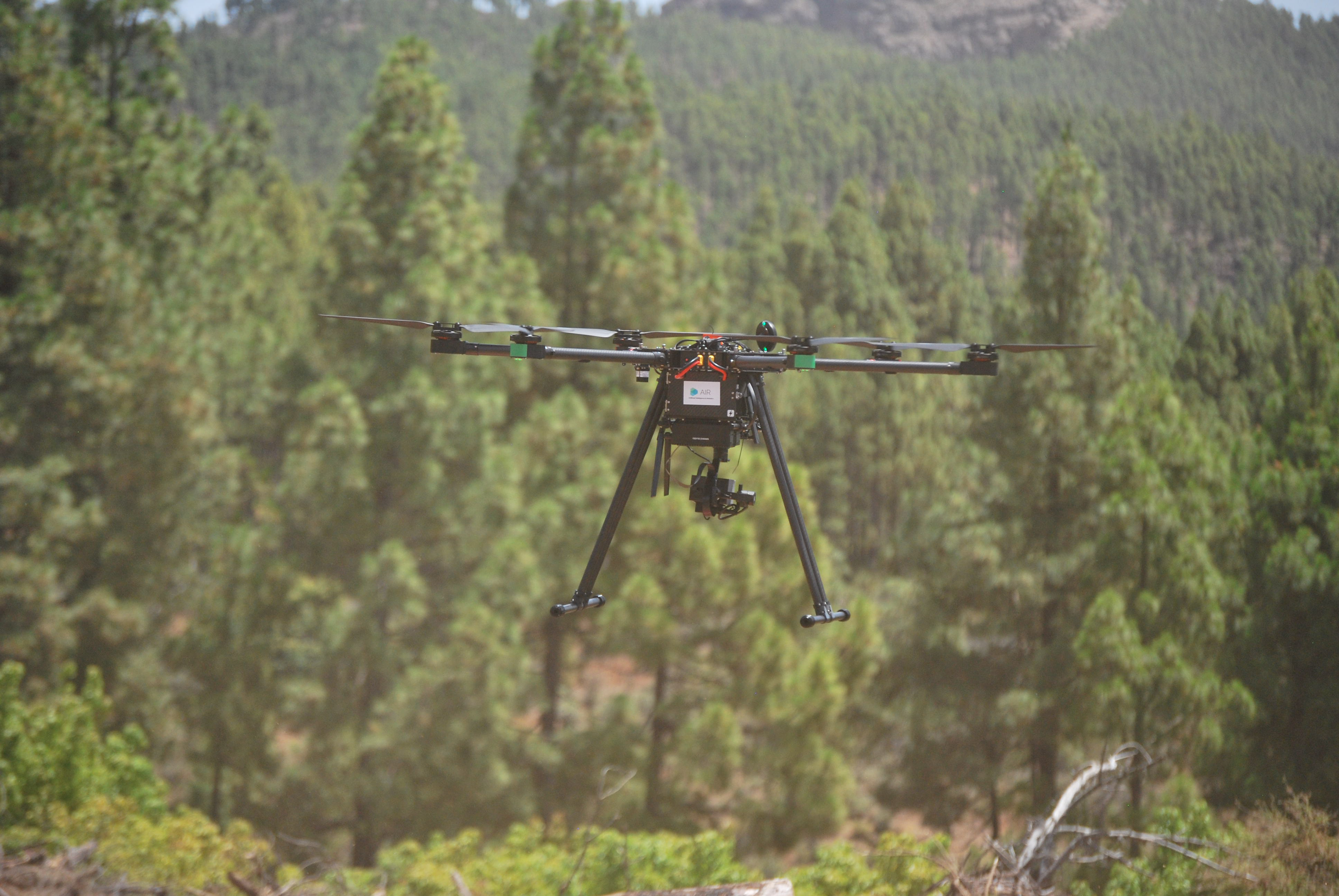
Why Remote Geolocation
Remote Geolocation is a crucial aspect of modern technology, playing a pivotal role in various fields due to its ability to accurately link digital data to specific geographical locations. This process is key in mapping and surveying, allowing for the precise plotting of features and terrains on maps, which is essential for urban planning, construction, and environmental management. In navigation, Remote Geolocation powers GPS systems, enabling efficient and safe routing for transportation and logistics. Additionally, in the realm of emergency response and disaster management, it is indispensable for pinpointing crisis locations and coordinating timely and effective response efforts. In agriculture, Remote Geolocation aids in precision farming, optimizing resource use and crop yields by providing detailed insights into soil composition and field topography. The integration of Remote Geolocation in unmanned aerial vehicles (UAVs) and other automated systems has further expanded its applications, including wildlife tracking, archaeological explorations, and even in the entertainment industry for location-based gaming and virtual tours. In summary, Remote Geolocation is an essential tool that enhances accuracy, efficiency, and decision-making across a diverse range of applications..

Remote Geolocation Innovation and Application Development
- Unmatched Precision in Dual-Domain Remote Geolocation: Our expertise in both ground and aerial Remote Geolocation through UAVs sets us apart, ensuring unparalleled accuracy in pinpointing any stationary or mobile object.
- Innovative Pioneers in Geospatial Solutions: With our profound knowledge and experience in Remote Geolocation, we lead the way in developing cutting-edge applications, making us the go-to team for any geospatial challenge.
- Adaptable and Advanced Remote Geolocation Techniques: Our ability to seamlessly georeference objects in diverse environments showcases our adaptability and technical prowess, positioning us as leaders in the field.
- Comprehensive Expertise for Dynamic Remote Geolocation: Whether it’s mapping vast landscapes or tracking moving objects, our team's comprehensive skill set in Remote Geolocation makes us the ideal choice for developing sophisticated and reliable applications..
- Frontiers of Remote Geolocation Innovation: At the intersection of UAV technology and ground-based systems, our team excels in creating applications that redefine the boundaries of Remote Geolocation, offering solutions that are as innovative as they are dependable.

Artificial Intelligence & Robotics, S.L.
Parque Científico Tecnológico de la ULPGC.
Polivalente II, Planta 3, 35017.
Las Palmas de Gran Canaria, España