SAGIF
Aerial Forest Fire Remote Geolocation System

Aerial Forest Fire Remote Geolocation System
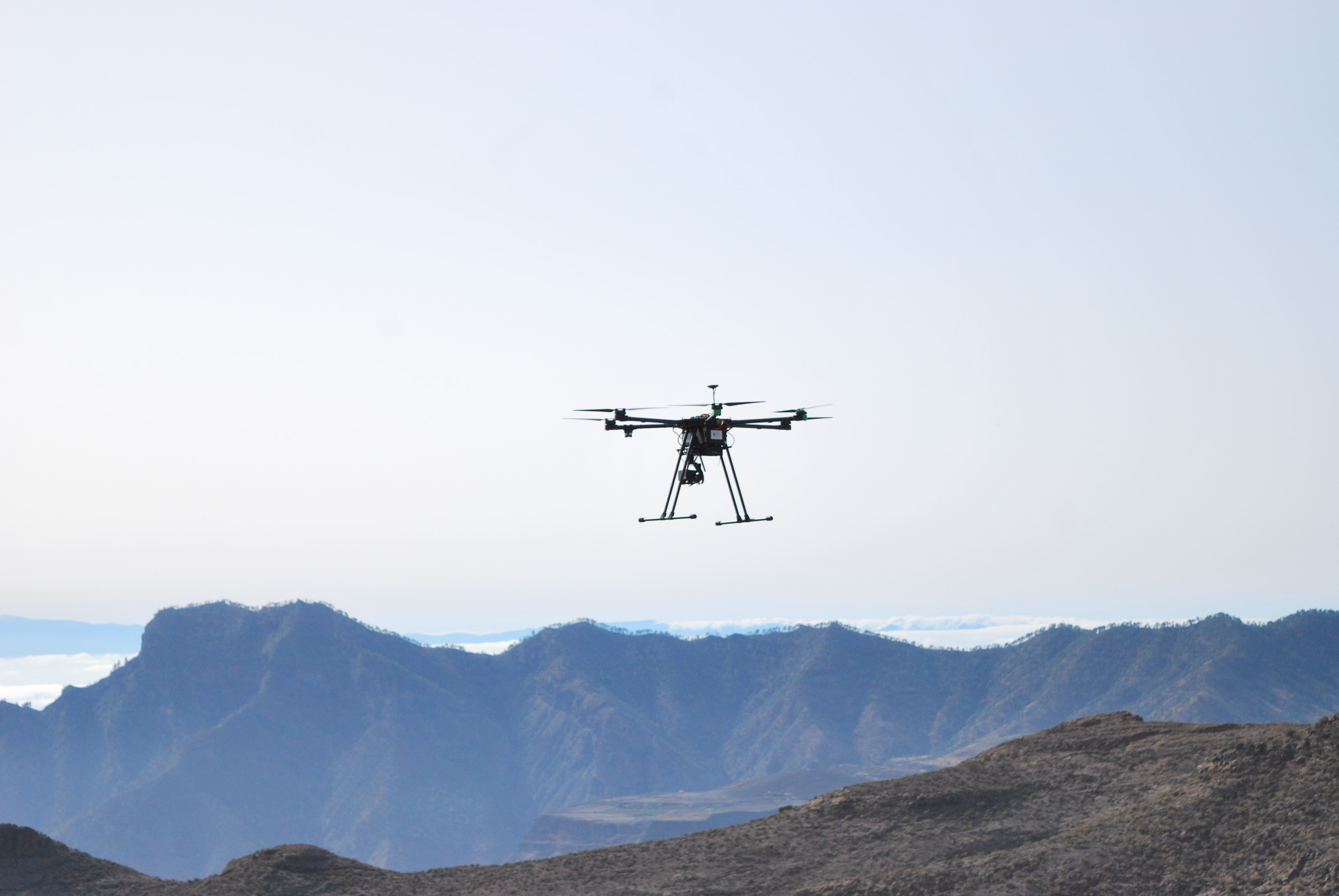
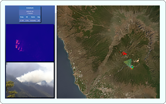
SAGIF, the Aerial Forest Fire Remote Geolocation System, is a R+D project funded by the Canary Goverment under the PEPSTARS Proyecto Canarias Stars 2022. The primary goal of this project is to engineer a specialized fire detection and Remote Geolocation system, tailor-made for integration with unmanned aerial vehicles (UAVs). This innovative system is at the forefront of addressing forest fire challenges, employing advanced thermographic cameras, sophisticated computer vision (CV), artificial intelligence, and Geographic Information System (GIS) techniques. Its design focuses on seamless adaptability to various UAV formats, including both multicopters and fixed-wing models. A key feature of this system is its capability to provide real-time Remote Geolocation data to emergency operation centers, significantly boosting the effectiveness and responsiveness of fire management strategies from the air.

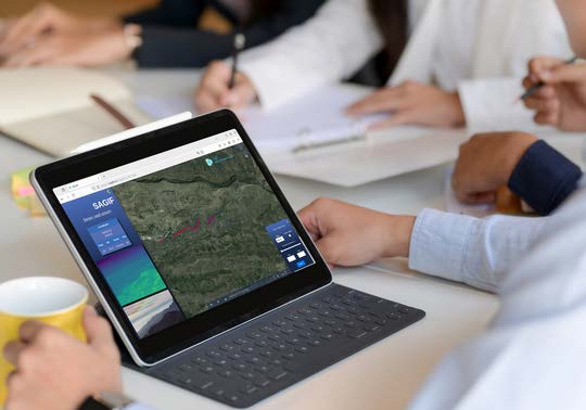
SAGIF elevates the capabilities of existing systems, significantly enhancing Situation Awareness for fire-fighting commanders and key decision-makers. This advanced tool aids in critical decision-making processes, such as resource allocation, population evacuation, and other vital actions during forest fire incidents. By providing more accurate, real-time insights, SAGIF empowers leaders to respond more effectively and efficiently to these challenging situations, ultimately improving outcomes in forest fire management.


SAGIF's adaptability for both manned aircraft and UAVs ensures versatile, effective response to evolving aerial surveillance challenges.
SAGIF excels in providing not only real-time information, but also the ability to perform retrospective qualitative analysis. This not only improves the effectiveness of emergency response operations, but also provides essential data for the formulation of future fire prevention and management strategies.


Artificial Intelligence & Robotics, S.L.
Parque Científico Tecnológico de la ULPGC.
Polivalente II, Planta 3, 35017.
Las Palmas de Gran Canaria, España